Retail
Smartmaps; Search and Personalize
Allows users to search Land Survey Records
Smart Search allows user to interact with maps with just a few clicks. Users can select taluka/village and the land survey number of interest and derive the desired information.
REAL data helps users to get the current applicable zone for the particular land survey parcel which then becomes an important criterion to analyse property for potential usage.

Google Earth Integration
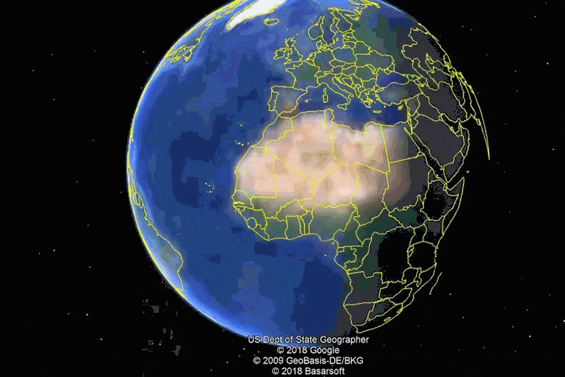
Allows Google Earth Overlays and superimposition on desired maps…
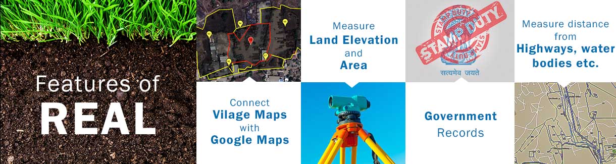
All village maps which users can find within REAL can be superimposed over satellite images from Google. This feature not only enhances user experience about the location of the property but also connects the user to the real life imagery. It also helps user to precisely understand the details of the surroundings and other intricacies of the selected property. Without GIS technology it would be very difficult to achieve this precise integration of these two different types of data.
Measurements
Provides you information of the distances from highways, roads, water bodies; Distance from Gaothan and more..
Factors such as the distances from the approach road or highways, measurement of the area of the land parcel form an integral part of decision making. REAL provides the area of a particular survey number.