Infrastructure
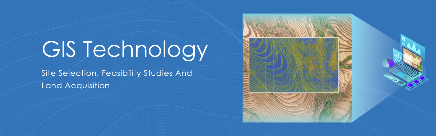
GSDL uses geographical information system (GIS) technology that allows users to identify the property by visualizing geographical statistics through maps. GSDL fetches such data and represents it visually in a map format.
REAL enables organizations and enterprises to solve problems via intelligent use of data, across a multitude of Infrastructures like Power transmission lines, solar power plant construction, Road construction, Railways, laying of water and gas pipelines.
Building smart cities with GSDL.
The challenge:
- Setting up land for the infrastructure.
- How to find the most suitable land for infrastructure development?
- Many times reports can help us realize there is a problem, but it cannot tell ‘where’. Only maps can accurately point out the exact location, enabling us to know and improve the workflow.
The solution:
Different from other GIS software’s, REAL (GSDL) focuses to help with multiple aspects of property identification, including digital maps along with nearby locations, ownership information, distance from the highways, roads, water bodies, and many more.
Many times small problems cannot be solved without intervention and intervention is impossible without a facts and figures offered by ‘REAL’. REAL providing GIS solution with the help of GIS mapping as an effective tool to visualize the topographical conditions of the construction site for a safer and more efficient data collection experience. With the application of GIS and geo-tagging, users can make smarter decisions with actionable insights.
Application:
-
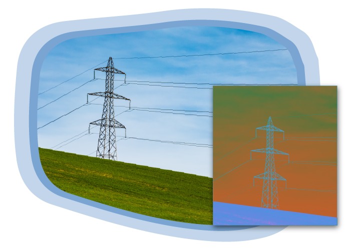
Power Transmission
-
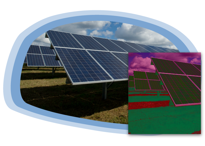
Solar Power Plant
-
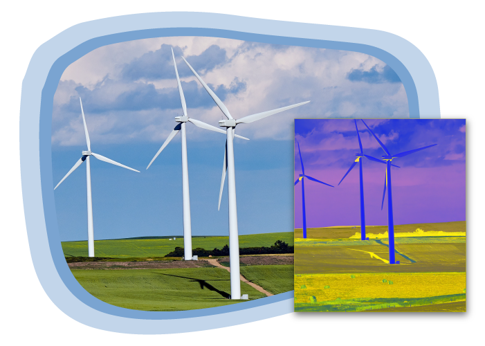
Wind Farms
-
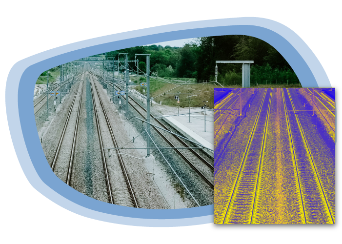
Railways
-
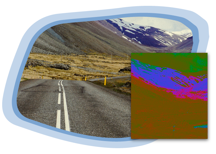
Roadways/Highways


Features
REAL software analyzes the location points/land parcels and provides the following details,
- Survey numbers
- Ownership reports
- Land type (cultivable/ non cultivable)
- Private/Gov. land
- Geo-tagged location
Benefits
- Reduction in TAT
- With the ownership records available the land acquisition process becomes simplified.
- Approval from Gov. bodies such as Railways, Civil aviation, forest authorities etc becomes faster.
- Cost effective.